


hardeche

topophil
Gebruiker
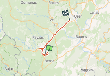

Lengte
27 km

Max. hoogte
263 m

Positief hoogteverschil
383 m
Km-Effort
32 km

Min. hoogte
133 m

Negatief hoogteverschil
385 m
Boucle
Neen
Datum van aanmaak :
2023-04-02 12:16:38.412
Laatste wijziging :
2023-04-03 10:43:19.365
4h23
Moeilijkheid : Zeer moeilijk

Gratisgps-wandelapplicatie
 SityTrail
IGN / Geografische instituten
SityTrail Plus
De wereld gaat voor u open
Over ons
Tocht Stappen van 27 km beschikbaar op Auvergne-Rhône-Alpes, Ardèche, Les Vans. Deze tocht wordt voorgesteld door topophil.
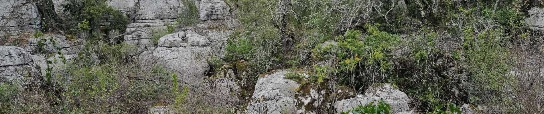
Foto's

Plaatsbepaling
Land:
France
Regio :
Auvergne-Rhône-Alpes
Departement/Provincie :
Ardèche
Gemeente :
Les Vans
Locatie:
Chassagnes
Vertrek:(Dec)
Vertrek:(UTM)
593816 ; 4916376 (31T) N.
Opmerkingen